Phoenix Nest
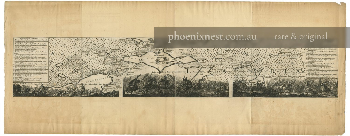
Battle of Bråvalla, Topographical Plan — Mejer
Battle of Bråvalla, Topographical Plan — Mejer
Couldn't load pickup availability
A dramatic 17th-century engraving combining a topographical plan of the Bråvalla battlefield in Östergötland with a vivid imagined depiction of the legendary Norse battle.
Original Latin title: Topographica Delineatio Camporum BRAWALLENSIUM in Sueclandia Praefectura. Engraved by Johannes Mejer. From Atlas Danicus. Published in Copenhagen, c. 1650.
The Battle of Bråvalla, recorded in the 13th-century Gesta Danorum of Saxo Grammaticus, was thought to have pitted the Geats and Swedes against the Danes in the legendary heroic age. Mejer, court cartographer to the Danish king, mapped the supposed site as part of his ambitious survey of the wider Danish-Norwegian sphere of influence around the Baltic.
Copperplate engraving. Good.
Artwork Details
| Type | Veduta |
|---|---|
| Artist | Johannes Mejer |
| Date | 1650 |
| Period | 17th century |
| Medium | Copperplate engraving |
| Origin | Sweden |
| Publication | Atlas Danicus |
| Subject | War & Military, Mythology & Allegory |
| Condition | Good |

More from 1660-1715 Ancient and Modern Sweden
-
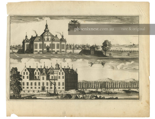
Steenhammar and Tullgarn Castles — Aveelen
Regular price $650.00 AUDRegular price -
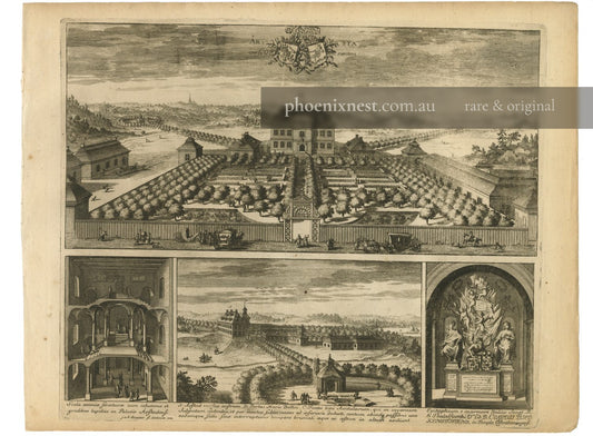
Årsta Manor, Sweden — Aveelen
Regular price $850.00 AUDRegular price -
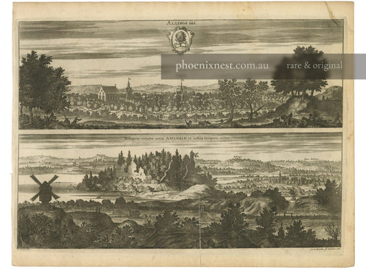
Alingsås and Axevalla Castle — Sandrart
Regular price $650.00 AUDRegular price -
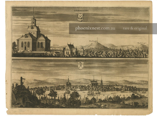
Söderhamn and Sundsvall — Suecia Antiqua
Regular price $600.00 AUDRegular price